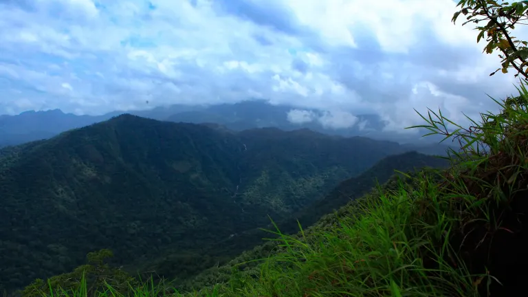
A grassland-crowned ridge hidden in the Vellarimala country beyond Meppadi, Aranamala is the Wayanad trek that most visitors never hear about — cardamom forest, a stream that becomes your only signpost, and a waterfall at the end of the map.
The story of Aranamala Peak
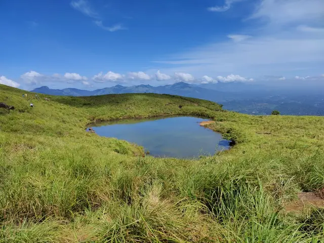
Aranamala sits in the wild, folded highlands south of Meppadi, on the Wayanad flank of the great Vellarimala range that also cradles the far more famous Chembra Peak. Where Chembra draws queues and a heart-shaped lake, Aranamala stays off the tourist grid: a run of steep grassy hills, mist-pooled valleys and shola-fringed slopes reached only on foot, often after a jolting four-wheel-drive stretch up from the estate roads. It is the kind of place travel writers keep calling a “hidden gem”, and for once the cliché is earned — parts of the trail sit completely off mobile network, with no official signage and, for a long time, not even a reliable pin on Google Maps.
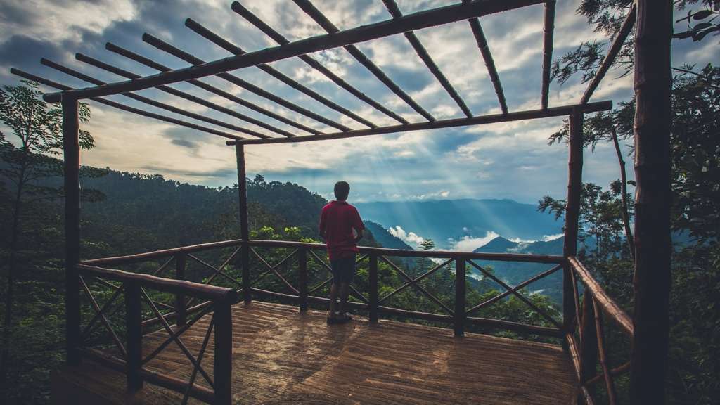
The approach usually begins from Meppadi, taking the Chooralmala road direction and then peeling off near Kalladi to climb towards Aranamala (indicative — confirm locally). The higher you go, the more the plantation belt gives way to something older and rawer: verdant hills wrapped in what visitors describe as an emerald carpet of grassland, with dark ribbons of shola forest tucked into the wetter creases and folds. Sunrise and sunset are the moments people remember most, when low golden light spills across the ridges and the valleys below fill with drifting mist.
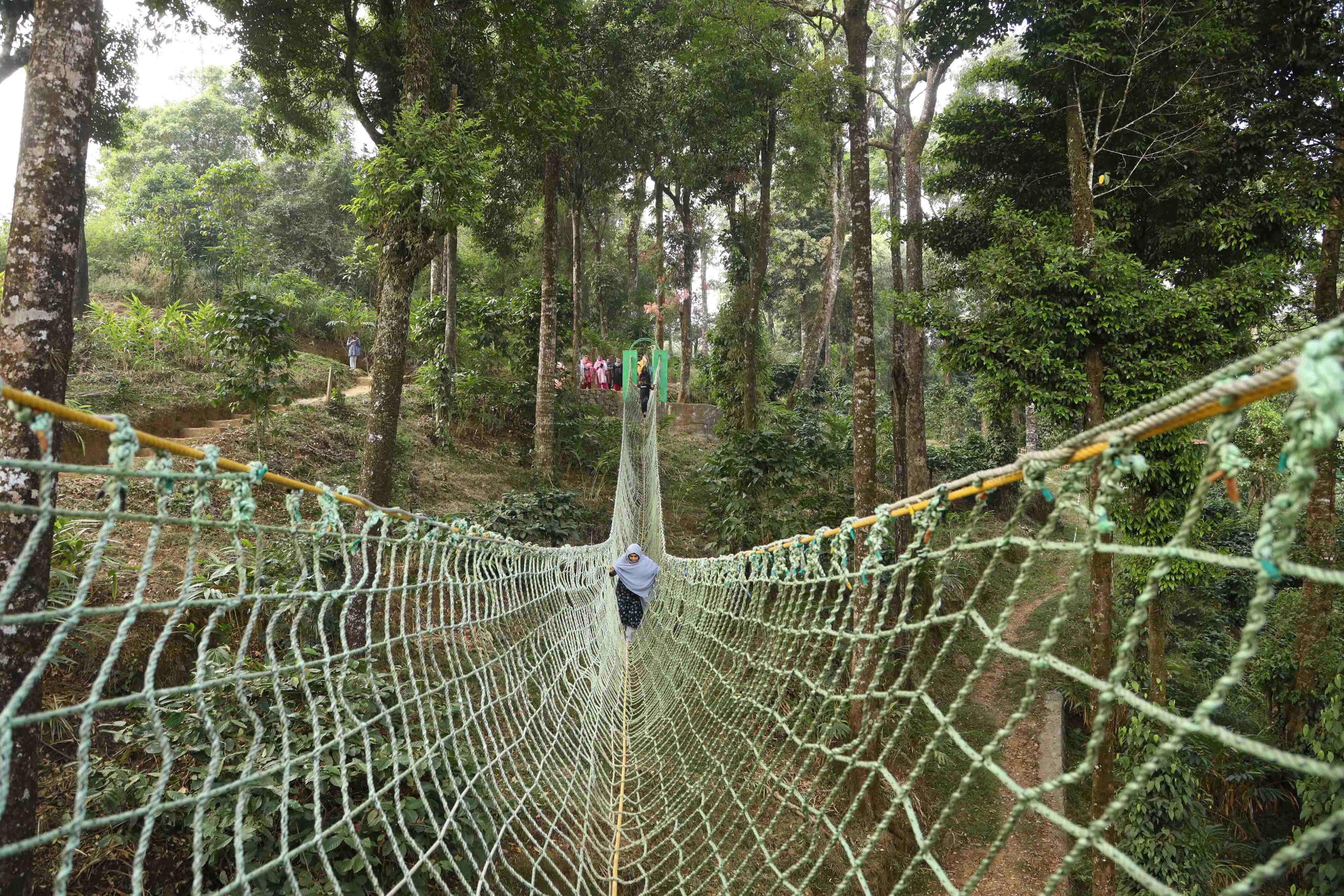
Aranamala is also cardamom country. Some of the best cardamom plantations in the Meppadi highlands are said to lie in and around these hills, and the classic trek threads straight through them — the scent of cardamom, the shade of tall canopy trees, and then a meandering forest stream that becomes the trekker’s guide all the way to a hidden waterfall. It is a moderate but genuinely wild walk, often described as roughly a few kilometres of stream-tracing rather than a groomed staircase trail; expect to scramble over large rocks, wade shallow pools and occasionally slip and tumble where the granite is wet.
The waterfall itself is the payoff — a cold, clear cascade dropping into a pool that trekkers routinely call bracingly, almost painfully cold, ringed by dense forest. Along the way there are smaller cascades and natural pools tempting enough to soak tired legs in. In the drier months after the monsoon the stream is a companionable guide; when the rains swell it, the same route turns into a far more adventurous, water-heavy scramble that should only be attempted with an experienced local guide.
Ecologically this is Western Ghats high country, floristically and faunistically akin to the neighbouring Nilgiris, and much of the terrain falls under the Meppadi Forest Range and the wider Wayanad Wildlife Sanctuary landscape — which is precisely why access is regulated and a guide (and sometimes forest permission) matters. The grassland-and-shola mosaic here is the classic signature of the southern Western Ghats: open montane meadow on the exposed ridges, evergreen shola in the sheltered hollows, and streams running clear off the tops.
What makes Aranamala worth the effort is exactly what keeps it obscure. There is no ticket counter theatre, no built-up viewpoint, no crowd — just estate tracks, cardamom shade, a talking stream and a ridge where the grass runs to the horizon. It rewards travellers who want Wayanad the way it feels before the buses arrive, and it pairs naturally with the marquee sights nearby — Chembra Peak, Soochipara (Sentinel Rock) Waterfalls and the Meppadi tea belt — for anyone building a slower, wilder few days in the district.
History
Aranamala belongs to the Vellarimala massif, a mountain range that straddles Meppadi Panchayat in Wayanad district and Thiruvambadi Panchayat in Kozhikode district. Vellarimala forms part of the Camel’s Hump Mountains of the Western Ghats and is semi-contiguous with the Nilgiris across the Chaliyar valley, which is why its plants and animals so closely echo the Nilgiri Hills to the east.
This is some of the highest ground in the region. The tallest peak of the range, Vavul Mala, rises to about 2,339 m and is the highest point of the Western Ghats north of the Nilgiris, while Vellarimala itself reaches roughly 2,240 m at the trijunction of Wayanad, Kozhikode and Malappuram — the highest point in Wayanad. Aranamala is one of the lesser-known highland pockets within this larger sweep of ridges and valleys, and precise, published figures for its own summit height are not well documented (indicative — confirm locally).
For generations the human story of these slopes has been a plantation story. Meppadi lies at the heart of Wayanad’s tea and cardamom belt, and the estate tracks that trekkers now bump along in jeeps were cut to serve cardamom and other plantation crops rather than tourism. Aranamala’s reputation for fine cardamom is part of that older working landscape, and much of the approach still runs through cultivated groves before the true forest begins.
Administratively the terrain sits largely within the Meppadi Forest Range of the South Wayanad Forest Division, with the broader region overlapping the Wayanad Wildlife Sanctuary — a protected landscape with regulated entry. That protected status is the main reason Aranamala has stayed offbeat: access is controlled, there is no mass-tourism infrastructure, and visits typically depend on local guides, homestays and estate contacts rather than a formal ticketing system.
Its emergence as a trekking destination is recent and still informal. Travel features from the late 2010s onward began describing Aranamala as a “virgin” or unexplored corner of Wayanad, and small operators and homestays around Meppadi now run guided treks and occasional tent stays here. It remains thinly documented compared with Chembra or Soochipara, so much of what circulates online is first-person trek reportage rather than official tourism data — one more reason to plan through a trusted local guide and confirm current conditions before setting out.
Why visit
A genuinely offbeat Wayanad trek — grassland ridges and shola forest without the Chembra-style crowds.
A cardamom-scented forest walk that follows a clear stream to a hidden waterfall and cold natural pools.
Emerald grasslands and mist-filled valleys, at their most cinematic at sunrise and sunset.
Wild, off-network highlands inside the Vellarimala range — the highest country in Wayanad.
Easy to pair with marquee neighbours: Chembra Peak, Soochipara Falls and the Meppadi tea belt.
A rare chance to see Wayanad the way it felt before mass tourism — no ticket theatre, just estate tracks and open ridges.