
Paithalmala trek
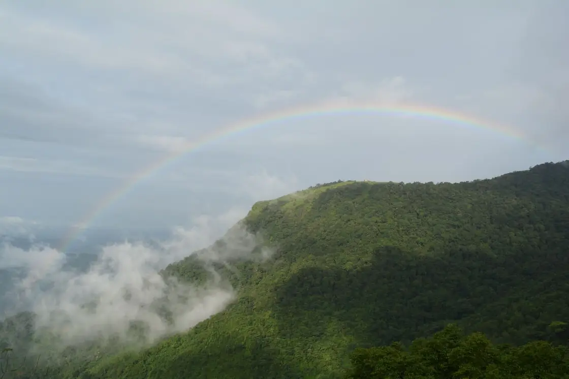
About 5 km trek through semi-evergreen shola forest and grassland to a high viewpoint above Kannur and Coorg valleys.
Official source →Highland trek and viewpoint near the Karnataka border.
 Fort and beach base
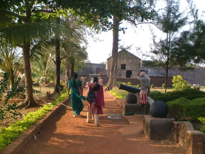
Sea fort, beaches and Theyyam-season access.
 Featured: Thottada Beach
Quiet beach-homestay and Ayurveda belt about 8 km south of Kannur city.
 Beach and food base
Drive-in beach, colonial fort and biryani town.
 City beach base
Easy beach area close to Kannur town.
 Temple and family base
Muthappan temple, Vismaya and Kannur University side stays north of Kannur city.
 Laterite plateau base
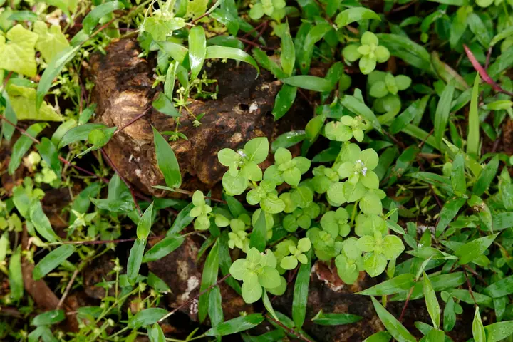
Biodiversity plateau and heritage landscape near Pazhayangadi.
 Airport transfer base
Kannur International Airport, Mattannur hotels and arrival/departure transport planning.
 Hill trek base
Highland trek and viewpoint near the Karnataka border.
 Wildlife base
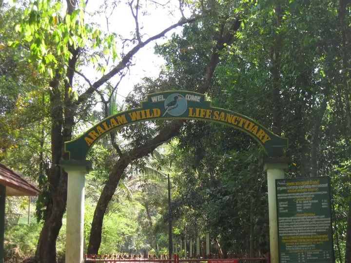
Eastern forest sanctuary and highland village belt.
Paithalmala is a Kannur base for Theyyam ritual arts, St. Angelo Fort, Muzhappilangad drive-in beach and Aralam forests.
Every verified place in Paithalmala — filter by what you’re after.

Paithal Hill Resorts Restaurant is a sourced hill resort restaurant record for the paithalmala guide. (eat option in Paithalmala)
The best tourist places to visit in Paithalmala — temples, viewpoints, lakes, heritage and nature, each with a full guide, how to reach it and what to see nearby.
Hill trek and viewpoint near the Karnataka border. This trek guide belongs to the Paithalmala planning base in Kannur, Kerala, with route context, best-time notes and verified inventory categories for stays, food, operators, shops, wellness and transport as they are approved.
Open guide →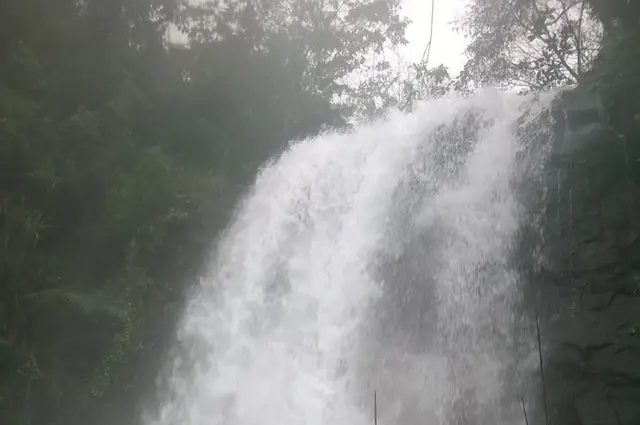
Kappimala is a tourist place in Paithalmala used for route planning, visit timing, and nearby stays, food, transport and local services across Paithalmala, Kannur, Kerala, India. Use this guide to plan the route, check access context and find relevant local options as verified listings are added.
Open guide →Kudiyanmala routes is a tourist place in Paithalmala used for route planning, visit timing, and nearby stays, food, transport and local services across Paithalmala, Kannur, Kerala, India. Use this guide to plan the route, check access context and find relevant local options as verified listings are added.
Open guide →Official/public-sector eco offerings mapped to this town base. Always confirm current availability, tariff, permits and reporting time before travelling.
About 5 km trek through semi-evergreen shola forest and grassland to a high viewpoint above Kannur and Coorg valleys.
Official source →Roampedia is commission-free. Travellers discover your business, book directly and contact you through official details. Basic listings are free, while Gold and Platinum package upgrades can be requested from the owner dashboard after approval.
Top places to visit in Paithalmala include Paithalmala trek, Kappimala, Kudiyanmala routes — each has a full guide with how to reach it and what to see nearby on this page.
The nearest airport to Paithalmala is Kannur (CNN), in-district. The rail gateway is Kannur (CAN) or Thalassery (TLY).
October to March is the driest and most comfortable season to visit Paithalmala and the rest of Kerala. The June–September monsoon is lush and green but wet, and often brings lower low-season prices.