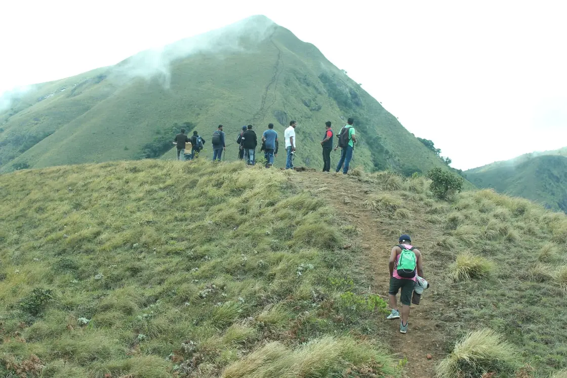
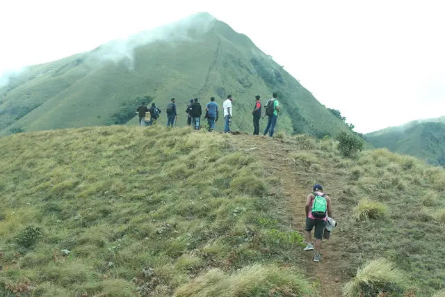
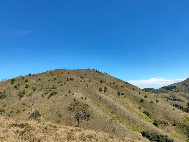
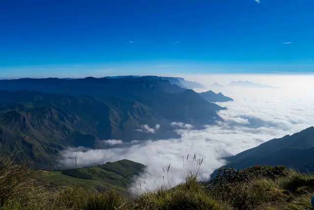
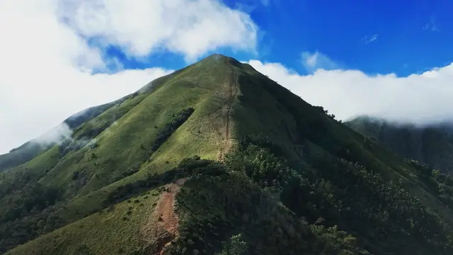
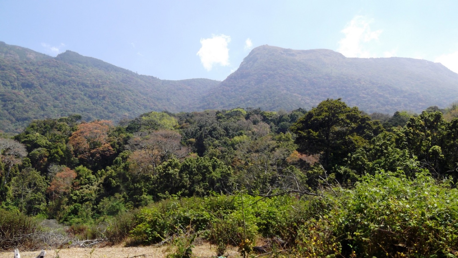
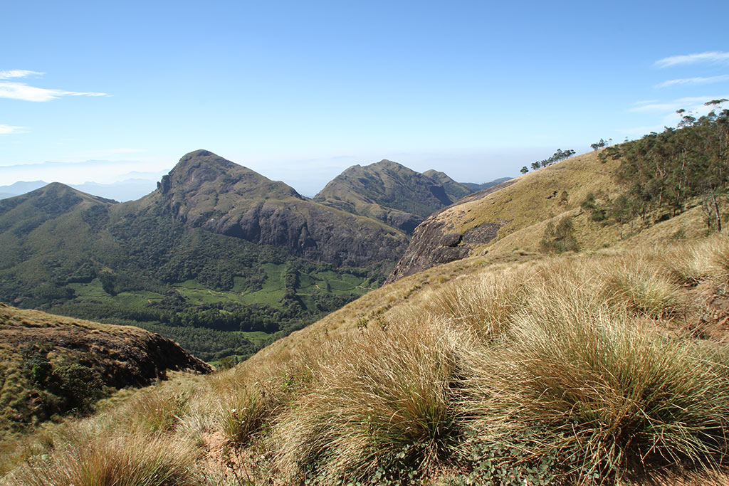
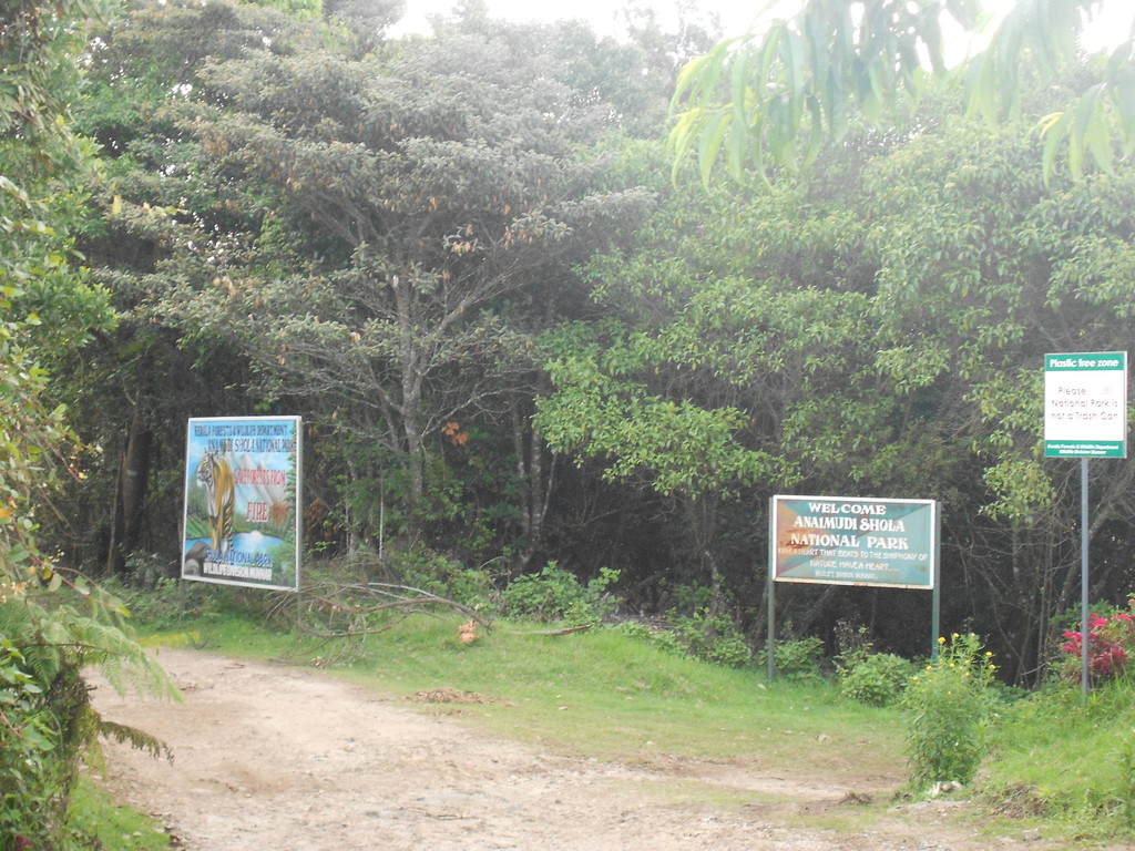
A ridge-walk across rolling shola-grassland to a wind-scoured summit near 2,640 m — one of the highest points in all of South India, where the Western Ghats fall away in every direction and clouds pour over the crest like a slow white sea.
The story of Meesapulimala trek
Meesapulimala is the mountain that Munnar keeps for its most determined visitors. Rising to roughly 2,640 m (indicative — confirm locally) on the border of Idukki district, it stands among the very highest peaks in South India, and the trek to reach it is regularly billed as a walk to the region’s ‘second-highest peak’. The reality is a little more interesting: only Anamudi (about 2,695 m) is undisputedly taller, and a handful of unnamed Western Ghats crests hover at similar heights, so treat the ‘second-highest’ tag as a much-loved local claim rather than a surveyed fact. Height rankings aside, what you actually feel up here is unforgettable — thin, cold air, grass bending flat in the wind, and a horizon that seems to curve.
The name itself is a picture. In Malayalam, meesa means moustache, puli means leopard or tiger, and mala means hill — the peak is said to resemble a moustached big cat, its grassy folds and dark shola pockets reading like whiskers on a crouching leopard. There is no temple legend attached; the story is simply written into the shape of the mountain, and once someone points it out you cannot un-see the great sleeping cat in the ridgeline.
The journey begins not on a trailhead but in a tea garden. From Munnar you climb roughly 24 km through Mattupetty and the Aruvikkad estate (indicative — confirm locally), the road narrowing until manicured tea gives way to raw grassland. A rugged jeep leg carries you the last few kilometres from the base area toward Rhodo Valley, and it is here — past a spot known as the Pandava cave — that the wheels finally stop and your own legs take over. The transition is abrupt and thrilling: one moment estate roads, the next a bare Ghat wilderness of tussock grass and stunted forest.
Rhodo Valley is the heart of the experience and the reason many people come. Named for the rhododendrons that flush the slopes with colour in season, it is a high, hidden bowl where the eco-tourism camp sits — tents and a couple of cottages ringed, in places, by an elephant trench for protection, with a campfire against the night cold. Sleeping here at around 6,000 ft, under a sky ferociously full of stars, is the memory most trekkers carry home. From camp the summit push threads a narrow path between wildflowers and waist-high grassland along the spine of the ridge.
The climb to the top is not technically hard but it is exposed and lung-testing at altitude, and the payoff is total. From the summit the panorama is a full 360° of the Western Ghats — Anamudi and the Kannan Devan Hills, the tea-carpeted slopes toward Kolukkumalai, the Tamil Nadu plains dropping away past the Kottakudi valley, and, on clear early mornings, a ‘sea of clouds’ filling the valleys below your feet while the peaks float free above. Sunrise here, watched from a ridge in a fleece with your breath fogging, is the classic Meesapulimala moment.
Crucially, this is a protected, regulated landscape rather than an open trail. Access is run as an eco-tourism programme by the Kerala Forest Development Corporation (KFDC) out of Munnar, with a strict daily cap on trekkers, mandatory guides and advance booking — measures that keep the fragile shola-grassland intact and the summit uncrowded. That regulation is part of the magic: because so few people are allowed up each day, the mountain still feels genuinely wild.
History
Meesapulimala sits within the historic Kannan Devan Hills, the vast high-range country south-west of the peak that became one of India’s most famous tea landscapes. From the late nineteenth century, planters cleared and terraced these hills into the estates that still define Munnar, and the tea-garden approach you drive today — through Mattupetty and Aruvikkad — is a direct legacy of that plantation era. The mountain’s grasslands were long grazed and traversed by estate workers and herders long before they became a trekking draw.
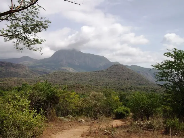
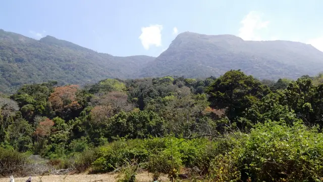
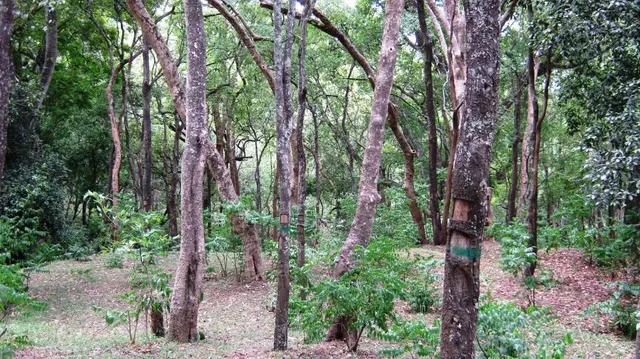
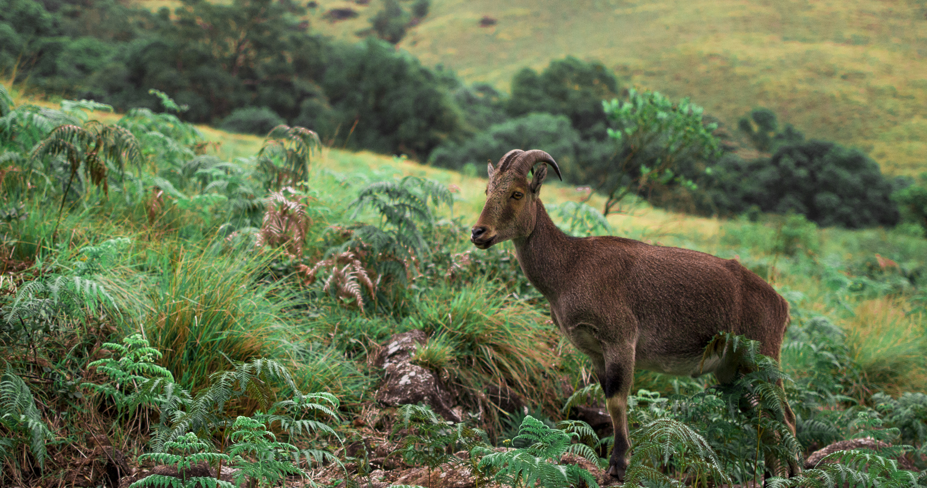
Ecologically the peak is a textbook stretch of the Western Ghats ‘shola-grassland’ mosaic: rolling montane grassland on the exposed slopes, with dense, stunted evergreen shola forest tucked into the folds and valleys where moisture collects. This mosaic is a UNESCO-recognised World Heritage landscape and shelters characteristic high-altitude wildlife — Nilgiri tahr, sambar deer, gaur, wild dogs and sloth bears have all been recorded in the wider area (indicative — sightings are never guaranteed).
The slopes are also home to the Neelakurinji, the shrub that famously blooms en masse only about once every twelve years, washing entire hillsides in violet-blue. When a mass-flowering year coincides with the trekking season it turns Meesapulimala into a pilgrimage; in ordinary years you may still catch scattered blooms and, in season, the rhododendrons that give Rhodo Valley its name.
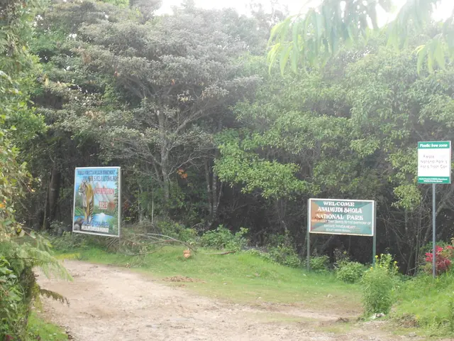
Modern access is deliberately restricted. The trek is administered as a formal eco-tourism package by the Kerala Forest Development Corporation (KFDC) in Munnar, with tie-ins to Kerala’s wider eco-tourism and DTPC Idukki promotion. Bookings are made through the official KFDC eco-tourism channel; a permit and a KFDC guide are compulsory, jeeps ferry visitors to the Rhodo Valley base, and the overnight camp is capped (commonly cited as roughly 40–60 trekkers per day, with tent capacity around 40 at base — indicative, confirm locally). The direct path up from the Kolukkumalai side is described as highly restricted.
Because the programme depends on weather and forest conditions, packages can be suspended at short notice during heavy rain, and details — fees, camp options, daily quotas — change from season to season. Anyone planning the trek should treat online figures as a guide only and confirm current availability and rules directly with the KFDC eco-tourism office in Munnar before travelling.
Why visit
Stand near 2,640 m on one of South India’s highest peaks — a genuine ‘roof of Kerala’ summit.
Rolling shola-grassland ridge-walks unlike anywhere else in the state.
Overnight camp at Rhodo Valley — tents, campfire and an overwhelming star field at ~6,000 ft.
A true 360° Western Ghats panorama, from Anamudi to the Tamil Nadu plains.
The famous ‘sea of clouds’ and cold, glowing sunrises from the ridge.
A regulated, low-footfall trek — so it still feels wild and uncrowded.