The story
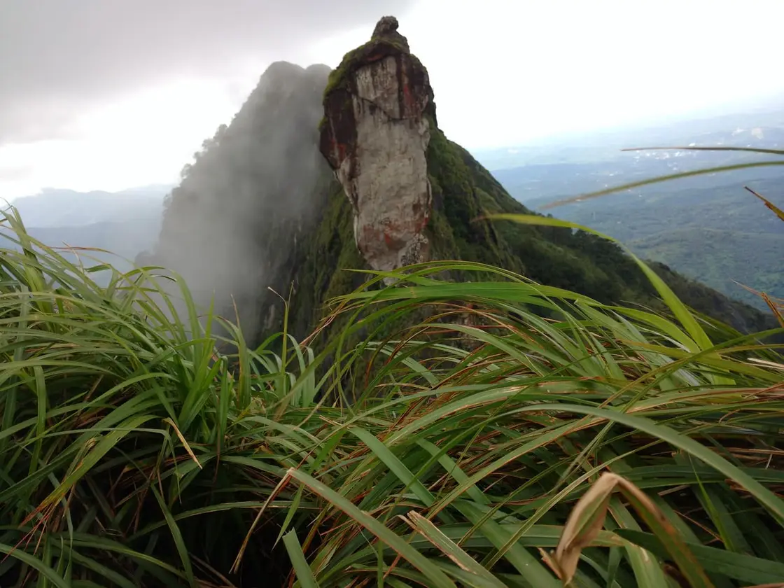
Illikkal Kallu is a great blade of naked rock that stands high in the Meenachil hills of Kottayam, above the villages of Teekoy and Moonnilavu, where the Western Ghats begin to fold up towards the Idukki high range. Rising to somewhere around 3,400 to 4,000 ft above sea level (indicative — accounts vary, confirm locally), it is famous for its sheer, knife-edge ridge, for the sea of mist that boils up its flanks on cool mornings, and for a spring said never to run dry near the summit. On a clear day the plains of central Travancore unroll far below, and travellers say the Arabian Sea shows on the western horizon as a thin blue line — a view that has made this rough, uncrowded peak one of the most striking short treks in the district.
The story of Illikkal Kallu
The rock itself is the reason people climb. Illikkal Kallu is a monolith — a single towering mass of stone — perched on the crest of Illikkal Mala, and today only one half of the original rock is said to remain, the other half having sheared away and fallen at some point in the distant past (indicative — confirm locally). What is left is a dramatic, near-vertical wall and a narrow spine of rock that draws the eye from far down in the valley. Standing beside it, the scale is hard to take in: the stone drops away almost sheer on one side, and the wind moves over the bare ridge with nothing to break it.
Illikkal Mala is usually described as three linked hill-formations rather than one simple summit. One is shaped like a mushroom or an open umbrella and is known locally as Kuda Kallu — the umbrella rock. Another carries a hunch on its shoulder and is called Koonu Kallu — the hunchback rock. Between them runs a slim natural catwalk of stone, barely half a foot wide in places, which local tradition has named Narakapalam, the 'bridge to hell' — a name that tells you everything about the drop on either side. It is these features, and the pillar-like rock walls, that lead many visitors to compare the scene to the Pillar Rocks of Kodaikanal.
The climb is short but committing. From the DTPC check-post, set roughly a kilometre below the summit, the last stretch is done on foot along a steep, exposed path (indicative — confirm locally). It is not a long trek — under a kilometre to the top — but the gradient, the loose ground and the wind make it feel bigger than the distance suggests. Reaching the ridge, walkers step out onto the open rock with the whole hill country spread beneath them, and the effort of the climb turns almost at once into the reason people come back.
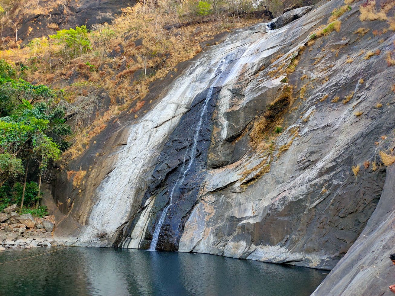
Water is part of the peak's mystique. Near the top there is a spring — Illikkal Para is threaded with small mountain streams — and these seeps and rivulets are counted among the sources that feed down the slopes to form the Meenachil River, the river that gives the whole taluk its name (indicative — confirm locally). To find fresh water high on a bare, sun-struck rock has always seemed slightly miraculous to those who climb, and the spring is bound up with much of the folklore that surrounds the hill.
Mist and cloud are the peak's great theatre. On cool mornings, especially from the post-monsoon months onward, cloud pours up the valleys and wraps the rock so that the ridge seems to float free of the earth. Many regulars say the finest window is early — roughly between eight and half-past ten — when the light is soft, the cloud lifts and settles, and the summit gives an almost 360-degree view (indicative — confirm locally). An hour later the same ridge can vanish entirely into white. This shifting between clear plains-view and total whiteout is exactly what gives Illikkal Kallu its reputation.
And then there is the view itself — the payoff for the scramble. From the top the land falls away in ridge after ridge of rubber-green and forest, the estates and villages of the Meenachil country laid out in miniature, and on the clearest days the far glint of the Arabian Sea to the west. It is a wide, wild, unmanicured panorama, and because the peak sees far fewer crowds than Kerala's marquee viewpoints, that panorama usually comes with silence and space — the reason so many who make the climb once come back to make it again.
Legend & myth
The most enduring legend of Illikkal Kallu is that of the Neelakoduveli — the rare 'blue lightning' herb said to grow, in secret, somewhere on these heights. In the old stories this is no ordinary plant: it is credited with the power to draw wealth, to bring prosperity and to guarantee a rich harvest to whoever possesses it, and it is spoken of almost as a living charm rather than a flower.
Legend holds that sages, seekers and alchemists once climbed into these hills hunting the Neelakoduveli, and that the plant was guarded by unseen, supernatural beings who made it all but impossible to reach — so that for every tale of someone who glimpsed it, there is none of anyone who carried it home. The story is told to this day as folklore, not fact, and no such herb has been shown to grow here; but it lends the bare rock and its never-failing spring a quiet air of the uncanny that visitors still enjoy repeating on the climb.
History
Illikkal Kallu lies within Thalanadu / Moonnilavu territory in the Meenachil taluk of Kottayam district, in the belt where the settled midland plantations of central Travancore give way to the steep Western Ghats (indicative — confirm locally). The nearest town below the summit is Teekoy, with Erattupetta and Pala the larger market towns from which most visitors approach.
The wider Meenachil highlands were opened up over the last century and more by settler cultivation — rubber, spices, tapioca and other hill crops climbing the slopes — and the peak has long stood above this agrarian landscape as a landmark rather than a settlement in its own right. Its lasting significance to the region is hydrological as much as scenic: the streams rising around it are counted among the headwaters of the Meenachil River (indicative — confirm locally).
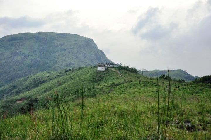
In more recent years Illikkal Kallu has been developed as a managed viewpoint and trekking spot. The District Tourism Promotion Council (DTPC) is reported to operate a check-post about a kilometre below the summit, beyond which private vehicles are not permitted; from there visitors continue on foot, and jeep transfers to the upper point have at times been offered (indicative — confirm locally).
Reported entry charges and timings have varied between sources and over time — small per-head fees of the order of a few tens of rupees, with daytime hours roughly from early morning to evening, are commonly quoted (indicative — confirm locally). Because such arrangements change, and because weather can close the peak, it is worth checking current fees, timings and access on the ground before setting out.
The hill also carries a genuine safety history rather than only a scenic one. Its exposed, near-vertical rock and the narrow Narakapalam spine make it hazardous in poor weather, and monsoon months in particular bring heavy rain, thunderstorms, lightning and the risk of slips on wet stone — reasons local advice steers visitors firmly towards the clear, cool post-monsoon season (indicative — confirm locally).
Why visit
A genuinely dramatic monolith — a sheer, half-fallen wall of rock with a knife-edge ridge and the vertiginous Narakapalam 'bridge to hell', unlike the gentle green hills most Kerala viewpoints offer.
One of the best short-effort, big-reward treks in Kottayam: under a kilometre from the check-post to a near-360-degree summit panorama over the Meenachil highlands.
The famous sea of mist — on cool mornings cloud pours up the valleys and the ridge appears to float, then clears to reveal ridge after ridge falling to the plains.
Far-horizon views that on the clearest days reach the thin blue line of the Arabian Sea to the west, with the whole hill country spread below.
A living thread of folklore — the legend of the wealth-giving Neelakoduveli herb and its supernatural guardians — that gives the bare rock and its hilltop spring a memorable sense of mystery.
Quiet and uncrowded compared with Kerala's marquee hill stations, set in the unspoiled Teekoy–Moonnilavu highlands within easy reach of Pala and Erattupetta.